


Col de la Schlucht

Alfredy
User GUIDE
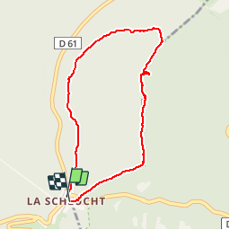

Length
3.5 km

Max alt
1258 m

Uphill gradient
123 m
Km-Effort
5.2 km

Min alt
1139 m

Downhill gradient
123 m
Boucle
Yes
Creation date :
2018-02-14 09:52:42.903
Updated on :
2018-09-05 14:47:41.551
1h17
Difficulty : Very easy
45m
Difficulty : Easy
19m
Difficulty : Easy
1h17
Difficulty : Easy
30m
Difficulty : Easy

FREE GPS app for hiking
 SityTrail
IGN / Geographical institutes
SityTrail Plus
The world is yours!
About
Trail Walking of 3.5 km to be discovered at Grand Est, Vosges, Le Valtin. This trail is proposed by Alfredy.
Description
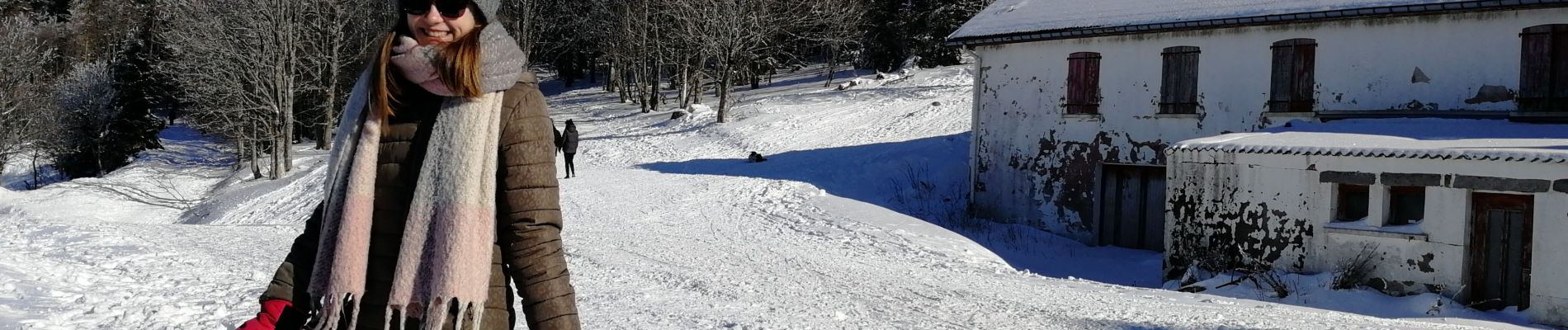
Belle rando à faire en famille. Beaux points de vue.
Photos


Positioning
Country:
France
Region :
Grand Est
Department/Province :
Vosges
Municipality :
Le Valtin
Location:
Unknown
Start:(Dec)
Start:(UTM)
352679 ; 5325317 (32U) N.
Comments